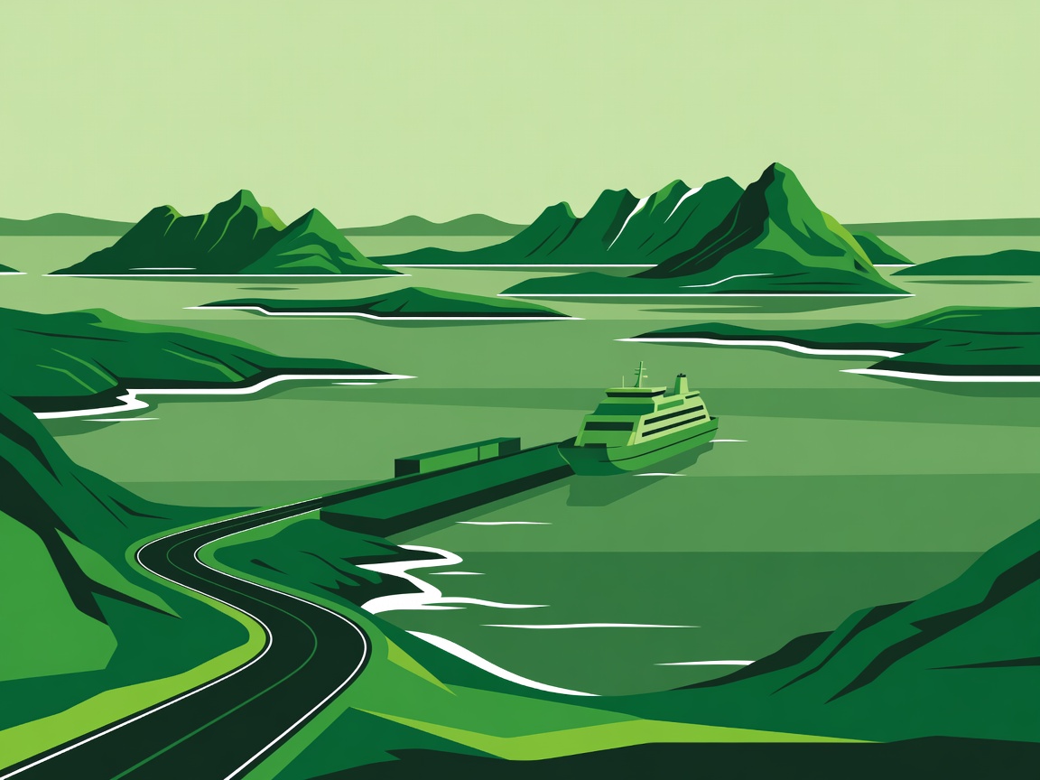
Helgeland: follow a short stretch of Fv17
Norway’s Helgeland coast rewards selective planning. Fv17, often described as the coastal route, links mountain silhouettes, fishing communities and ferry crossings. It is tempting to turn the whole corridor into a single achievement. A better first visit may involve only one part, with enough time to understand how the coast works.
Consider Brønnøysund as a base for the southern area. On your arrival day, settle in and make a short local outing rather than immediately chasing a ferry. Use another day for Torghatten if the weather, access arrangements and your walking ability suit the visit. Do not assume that a famous natural feature is a roadside stop or that every trail is appropriate in poor conditions.
A three-night sketch could mean arrival and supplies, one main landscape visit, then a deliberately light ferry-linked day. If you move north towards Sandnessjøen, check the specific crossings along your chosen road. Do not confuse the coastal geography with a continuously driveable shoreline. Allow time for queues, loading and the slower roads on either side.
Varanger: a small radius at the edge of the map
The Varanger Peninsula offers a different kind of remoteness: low vegetation, open horizons and settlements facing the Barents Sea. Vadsø and Vardø make useful reference points for planning, but distances between services still matter. Carry sufficient fuel and confirm accommodation before making a late arrival.
From Vardø, the road towards Hamningberg can be a memorable seasonal excursion. It is narrow and exposed in places, and access depends on current conditions. Check official status rather than relying on a summer photograph. Passing places are for meeting traffic, not for leaving a car while you explore the shoreline.
Give this area two or more flexible nights if it is central to your trip. One day may be better spent visiting a local attraction in Vardø than pushing into strong wind for a view. Birdlife is a major part of the region’s appeal; use established viewing facilities and keep a respectful distance from nesting areas.
Inland Lapland: choose Sweden or Finland first
Jokkmokk in Sweden and Inari in Finland are both worthwhile starting points, but they should not be treated as neighbouring stops on a casual afternoon circuit. Pick one region before adding another. Long forest roads can look simple on a map while still demanding sustained attention, particularly when animals appear near the verge.
A Jokkmokk-based stay can combine the town, the Ájtte museum and short drives towards accessible landscapes. Farther west, the road towards Kvikkjokk brings a different mountain setting, but it deserves its own realistic travel allowance. In Finnish Lapland, Inari offers access to Lake Inari and the Siida museum, with excursions chosen around weather and opening hours.
These are inhabited cultural landscapes, not blank wilderness. Seek locally produced interpretation of Sámi history and contemporary life. A museum visit or guided activity can add more meaning than a long detour to an unsigned lake. Keep gravel-road choices within your rental agreement and avoid assuming that a mapped track is public vehicle access.
Ferry-linked days: plan backwards from the crossing
Start with the actual operator timetable for the date and direction of travel. Check whether vehicle reservations are possible or required, whether the service carries cars and whether loading arrangements differ for larger vehicles. A route shown on a map may be passenger-only, seasonal or less frequent than you expect.
For Norwegian coastal travel, use the relevant regional transport service and operator information. Reis Nordland is a useful starting point for Nordland journeys. For the Faroe Islands, consult SSL for the specific ferry or bus service. Do not transfer booking assumptions from one country or operator to another.
- Nearby overnight base
- Verified vehicle crossing
- One main visit
- Flexible return
Keep an alternative overnight option on the same side of the water if disruption would otherwise strand you. Avoid pairing the final possible sailing with a distant international departure the next morning. The purpose of a buffer is not to fill it later; it is to make the whole day less brittle.
Make the route usable, not merely attractive
Save the route offline, but also note accommodation details, ferry terminals and a few service points separately. Offline mapping is not a live closure service. Before departure and again each morning, consult Norway’s road traffic information, Sweden’s Trafikverket or Fintraffic as appropriate.
These suggested itineraries are starting shapes rather than timed schedules. Roadworks, weather, a slow ferry queue or simple tiredness may change them. A worthwhile detour should improve the journey, not become an obligation you feel compelled to complete.